| Client | BP REDD+, UNDP |
| Period | Dec. 2014 - June 2015 |
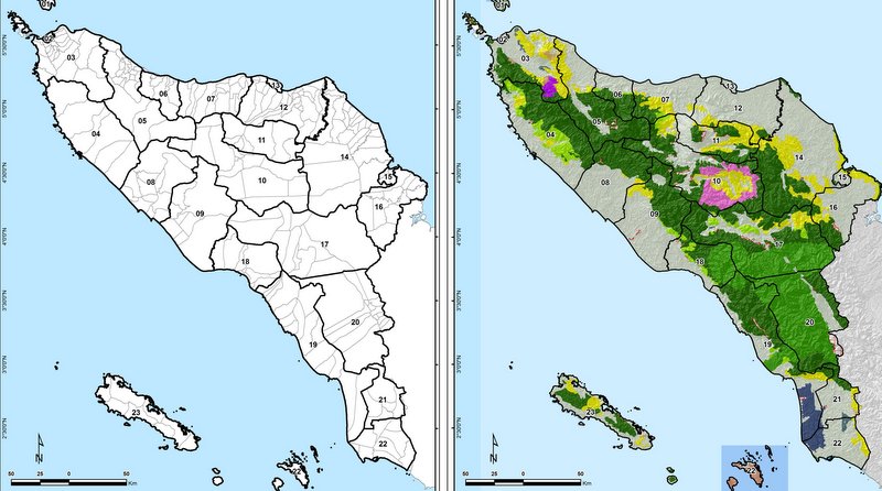
| Location | Aceh province, Indonesia |
| Partner | LTS International |
| Sectors | Forestry |
| Focus Area |
Daemeter is assisting BP REDD+ to provide a baseline data set and cadastral maps for Aceh, Information Management Systems (IMS), and capacity to operate and update them.
This project, commissioned by BP REDD+/UNDP, aims to deliver to the Government of the Province of Aceh, its 23 districts and cities, and its stakeholders a data set for the implementation of REDD+. The project will also support and build upon Information Management Systems (IMS) and conduct structured training and related capacity development activities to operate and update them.
Daemeter, in partnership with LTS International, is working with various agencies at the national, provincial, and district levels and stakeholders across Aceh to collect available data and maps that may be relevant to REDD+ implementation in the province. The data will be collated, processed, and analysed to provide a data library in accordance with the Indonesia’s One Map initiative. Daemeter is also assessing the existing IMS and the requirements to build on existing infrastructure that will ensure the sustainability of the data into the future.